| This is
where I've been walking |
|
|
 |
|
|
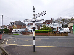
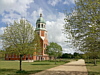
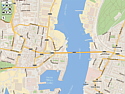
| Home,
Northam, Woolston,
Bursledon, Hamble
Quay. |
|
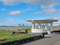
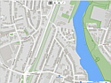
| Hamble
Quay, Hamble Common,
Westfield Common,
Hamble Shore, Royal
Victoria Country Park,
Hamble Station. |
|
| 13.76
mi - 22.14 km. |
|
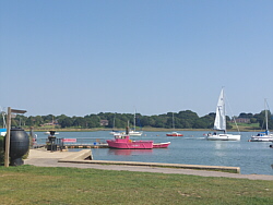
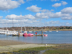
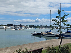
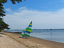
| Photo:
Hamble Shore. |
|
|
|
|
|
|
| |
|
|
| There are more photos in the
photo
album. |
|
|
|
|
|
| And this
is where I like to walk |
|
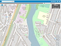
| Principal
places - and
where next |
Click
an image for details |
|
|
|
|
|
|
|
|
| Albums |
|
| Photos
from walks - and
days out |
Click
an image for details |
|
|
|
|
|
|
|
|
 |
| If you enjoy local walks, try
these suggestions from |
| The
Three Rivers Community Rail Partnership |
|
|
|
|
|
|
|
|
|
| Interactive maps |
|
|
|
|
|
|
| You can follow my walks on
|
|
|
|
|
|
|
| Walking Routes |
| A selection of places near
where I live in Southampton. |
|
| I regularly walk 12 to 15 miles (19 to 24
kilometres). A good walk would be something
like eight, nine or ten miles to Hamble or
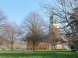
Warsash fast and then a more leisurely walk
along the shore to the Royal Victoria Country
Park. I take drink breaks along the way, notably
at Hamble Quay, the Royal Victoria Country
Park and in Warsash. I walk throughout the
year, 3 or 4 days a week. |
|
| My walks include busy roads, some with no
footway. Off road, the paths and beaches are
uneven and often very wet. Please take care
if following my routes. Please take advice
before starting any new form of exercise.
Where facilities such as cafes and transport
are mentioned, these may not always be available. |
|
|
| |
| |
| Bob
Mockford Online |
| |
| |