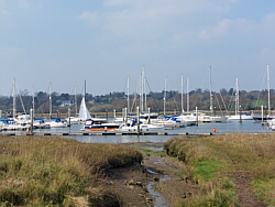
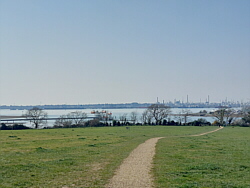
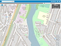
| Lower Swanwick to Universal Marina |
 |
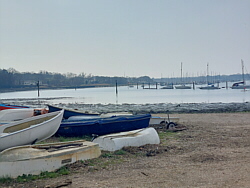
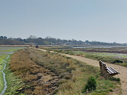
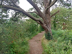
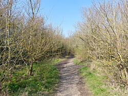
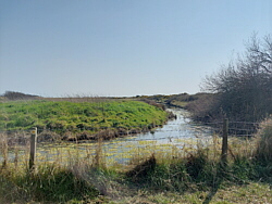
| The Lower Swanwick end of the
walk starts at Swanwick Shore Road and passes
a public slipway. The road turns left but
the river path continues straight ahead. Note
that while the path is open to the public,
it and the land on either side are private
property. The path can be muddy and sometimes
flooded in places. |
|
|
|
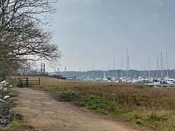
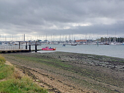
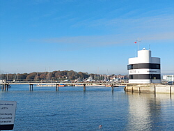
| You can cross the marina along
a marked walkway. Please remember that this
is a working environment and take care. |
|
|
|
|
|
|
|
|
|
|
|
|
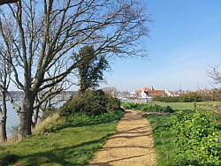
| Universal Marina to Warsash |
|
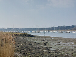
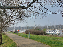
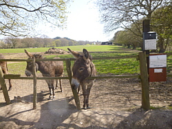
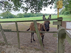
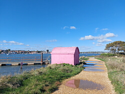
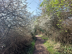
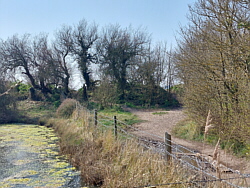
| The path towards Warsash is
gravel at the marina end. Just beyond the
marina is a donkey sanctuary. Beyond the donkey
sanctuary the path changes from gravel to
stone. This is uneven, in places very uneven,
and liable to flooding at and after a high
tide. |
|
|
|
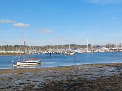
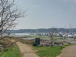
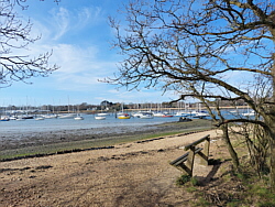
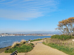
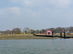
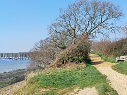
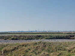
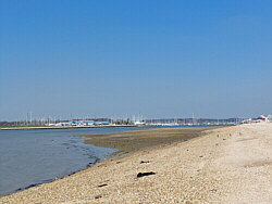
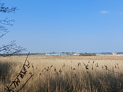
| The path gives excellent views
of the river and the surrounding area. Being
tidal, the river changes throughout the day
and attracts a variety of birds.At the Warsash
end is the ferry to Hamble. A pontoon is available
at high tide but at other times access is
via path which can be slippery. |
|
|
|
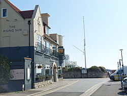
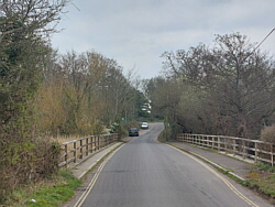
| Beyond the ferry the path passes
a car park and reaches a road. Passage Lane
to the left takes you to Warsash village.
Turning right onto Shore Road leads to the
harbour. From the harbour Shore Road takes
you up the hill to Passage Lane (on the left)
and the village (to the right). |
|
|
|
|
|
|
|
|
|
|
|
|
|
|
|
|
|
|
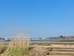
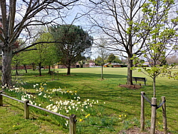
| Warsash to Southampton Water |
|
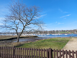
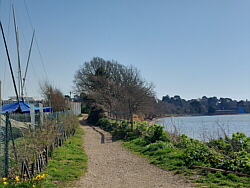
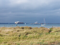
| From the harbour at Shore Road
the path continues down the river passing
Strawberry Field, a popular local park, and
the maritime academy. Between this and the
beach there are two parallel paths, one above
the other. The beach is at the mouth of the
river, opposite Hamble Point. |
|
|
|
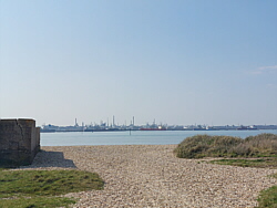
| At low tide it is possible to
walk along the beach to Titchfield haven.
The section near the Solent Breezes Holiday
Park is covered at high tide. There are road
and footpath alternatives inland. |
|
|
|
|
|
|
|
|
|
|
|
|
|
|
|
|
|
|
| Local Nature Reserve |
|
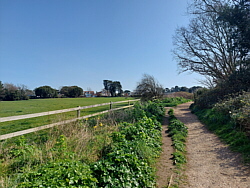
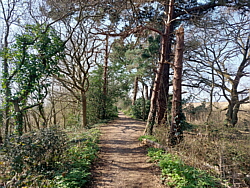
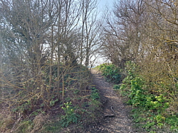
| Between Hook Park Road and the
beach there is a path through the local nature
reserve. Instead of walking down the river
from Shore Road, I often walk up to the village,
down Newtown Road, up Hook Park Road and through
the nature reserve before walking up the river
to the ferry. There are other paths near the
maritime academy which link the river path
and Newtown Road. |
|
|
|
|
|
|
|
|
|
|
|
|
|
|
|
|
| Sarisbury Green |
|
 |
|
| From Lower Swanwick I often continue
up the hill to Sarisbury instead of
walking along the river path to Warsash. |
|
| Sarisbury Green is a pleasant place
to pause with a drink. There is a shop
just across the road. |
|
| From there, Warsash village is via
Barnes Lane and Brook Lane. |
|
|
|
|
|
|
| Interactive maps |
|
|
|
| |