| Hamble Common |
 |
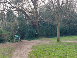
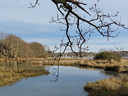
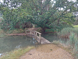
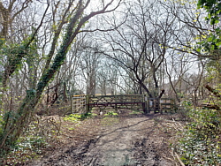
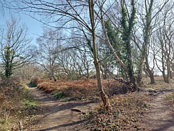
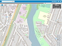
| Hamble Common is an area of
woodland and heath between the village and
the shore on Southampton Water. It is divided
by School Lane. There is a path from Green
Lane which takes you through the side nearer
to Hamble Quay and down to Hamble Point. There
are several branches of this path giving a
variety of routes. This area can be quite
wet at times. The bridge may be submerged
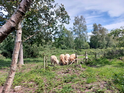
at high tide. Cattle sometimes graze here. |
|
|
|
|
|
|
|
|
|
|
|
|
|
|
|
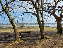
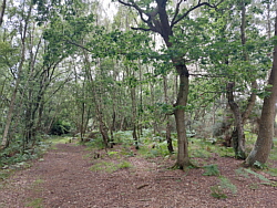
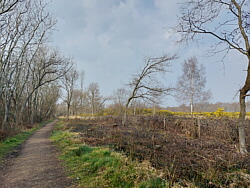
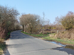
| School Lane runs from High Street
to Hamble Point and separates Hamble Common
in two. There is no pavement for most of the
way but a path runs parallel to the road from
the car park. This path can be muddy and wet
in places. Take care if using the road. |
|
|
|
|
|
|
|
|
|
|
|
|
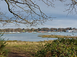
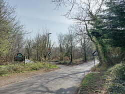
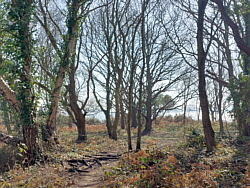
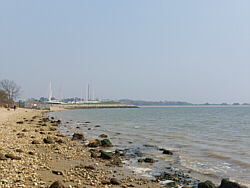
| The other side of Hamble Common
can be accessed from School Lane or Copse
Lane. The paths on this side take you to the
beach between Hamble oil terminal and Hamble
Point. |
|
|
|
|
|
|
|
|
|
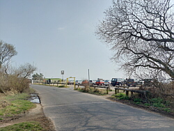
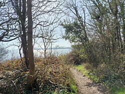
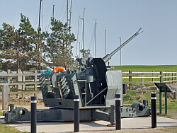
| Hamble Point |
|
| Hamble Point is at the mouth
of the river Hamble. |
|
|
|
|
|
|
| |
|
| Interactive maps |
|
|
|
|
| |